Kapalong was a tribal domain on the Libuganon River long before it was a town. It became a municipal district in 1921, a regular municipality in 1948, and has since given up more than half its land to four neighbouring towns.
- Created as a municipal districtFebruary 23, 1921Executive Order No. 8
- Became a regular townAugust 1, 1948Executive Order No. 151
- Land area today84,934 hafrom an original 188,000 ha
- Barangays today14first class municipality
A tribal domain on the rivers
For so long the territory of the Ata, Mandaya, and Dibabawon, Kapalong was a typical tribal domain where the lumads had to depend on the rivers and the forests for food. Libuganon River, for the most part, was an important waterway linking inner settlements to the sea, and has always been an expedient channel for travel when there was no flash flood.
Although they lived off the wealth of the forests and its wild game, the natives always built small settlements near the riverbanks as a matter of convenience. The rivers do not only serve as appropriate places for bathing, washing and cleaning; they also provide an almost infinite supply of edible creatures. On the other hand, many of these natives have turned to marginal farms for root crops and vegetables.
Where the name came from
The Municipality’s name came from Kapalong River, a major river that joins Maguimon River in the Sitio now called Patel. Local lore says the river got its name from “Napalongan”, Cebuano for extinguished. When a severe drought hit the riverine settlement along that river causing it to dry up, it led to scarcity of food: no fish, games, nor forage, triggering a famine that wiped the village. The locals called that place “Napallongan to otow”, meaning “people were extinguished” — literally “people died”.
Migrants and the municipal district
The entry of migrants in Kapalong, particularly in Maniki (Chilly or cool in Mandaya dialect) took place in the years preceding the establishment of the Commonwealth. People from Luzon and Visayas turned up in response to the invitation of the American Colonial leaders to explore the potentials of Mindanao, then largely a little-known region of opportunities.
Originally part of the District Municipality of Saug, Kapalong was not among the eight (8) recognized municipal districts covered by the 1918 Census undertaken during the American occupation, but in the official report of the survey published later, it was classified as a municipal district and in another official document related to the same census, as a municipality. When it was officially created into a municipal district on February 23, 1921 by virtue of Executive Order No. 8 signed by Governor Francis Burton Harrison, it had nine (9) barrios namely: Abaca (central), Mabaquid, Manique, Mabantao, Esperanza, Sua-on, Jaguimitan, Kapalong and Florida.
From the intersection of Rio Biga at Latitude N-8, thence due south passing the peak of Mount Ampawid to the point of junction of the Magdagundong and Liboganon rivers; thence due west to the provincial boundary line of the provinces of Davao and Cotabato; thence in a meandering northerly direction following said boundary to its intersection with the provincial boundary line of the provinces of Davao and Agusan in the eight latitude; thence due east to the point of beginning which is at the intersection of Biga River and north latitude N-8.
Surveys and the first institutions
The establishment of the Commonwealth in 1935 had direct impact on Kapalong as a key district. In 1937, President Manuel L. Quezon authorized the inauguration of cadastral projects in six municipal districts in Davao that included Guinga Extension (Davao City), Saug, Kapalong and the towns of Compostela and Monkayo.
A year later, parties were organized to execute the surveys with the mission to expedite their completion and with the primary purpose of adjudicating the titles to the lands and prevent land grabbing. This government initiative opened the locality and adjacent places to the influx of immigrants.
To underscore Kapalong’s status as a municipal district, it had its own judicial structure as early as 1938 following the appointment of Jose Mañgune as justice of peace of the locality who went on to become Davao city Councilor (1945–1947). In 1939, the town had a population of over 5,000.
A regular town, 1948
Kapalong became a regular town under Executive Order No. 151 which President Elpidio R. Quirino signed on July 8, 1948 but took effect on August 1, 1948. Originally it was composed of Maniki, Abaca, Tibal-og, Semong, Mabantao, Suaon and Gupitan. Later though, its territorial integrity would undergo numerous changes resulting from executive and legislative decisions.
A changing map, 1959–2004
The first law to alter Kapalong’s land area was Executive Order No. 352 creating the town of Sto. Tomas; it was signed on August 14, 1959 by President Carlos P. Garcia. However on November 5, 1973 the Municipality of Santo Tomas filed a case against Kapalong at the Court of First Instance 16th Judicial District for settlement of municipal boundary dispute, recovery of collected taxes and damages, claiming that Kapalong has intruded deep into the territory of Santo Tomas exercising political and corporate powers over eight (8) barangays (Santo Niño, Palma Gil, Semong, Gabuyan, Sampao, Pag-asa, Luna and Mamacao) allegedly belonging to Sto Tomas. Kapalong’s motion to dismiss and two motions for reconsideration were all denied (February 1975, March 1975 and July 1975) but said case was dismissed by the Supreme Court in September 1988.
In 1990, following the founding of the Municipality of Talaingod under Republic Act 7081 which was enacted into law by President Corazon C. Aquino on July 29, 1991, Kapalong’s territory was further redefined; three of its barangays — Sto. Niño, Palmagil and Dagohoy — were transferred to the jurisdiction of Talaingod, reducing its barangays to 17.
On August 30, 1992, four new barangays were approved in a plebiscite conducted by virtue of an ordinance. These are Datu Balong, Libuton, Dacudao and Pinamuno, which were originally part of Gupitan, the municipality’s largest barangay. The creation was consistent with the Local Government Code of 1991.
Another initiative that affected Kapalong was Republic Act 9265 signed by President Gloria Macapagal Arroyo on March 15, 2004 which created the Municipality of San Isidro and removed from Kapalong the barangays of Dacudao, Datu Balong, Libuton, Monte Dujali, Linao, San Miguel and Pinamuno and placed them under the jurisdiction of the new town.
Today, the municipality which has jurisdiction over an area of 84,934 hectares (from the original 188,000 hectares) is a first class town with fourteen (14) barangays. See the fourteen barangays.
Timeline
- 1918
Left off the census roll
Kapalong is not among the eight recognized municipal districts covered by the census taken during the American occupation, though later reports classify it as one.
- 1921
Created a municipal district
Executive Order No. 8, signed by Governor Francis Burton Harrison on February 23, creates the municipal district with nine barrios.
- 1935
The Commonwealth arrives
The establishment of the Commonwealth has a direct impact on Kapalong as a key district.
- 1937
Cadastral surveys authorized
President Manuel L. Quezon authorizes cadastral projects in six municipal districts in Davao, Kapalong among them.
- 1938
A court of its own
Jose Mañgune is appointed justice of the peace, giving the district its own judicial structure.
- 1939
Past 5,000 residents
The town records a population of over 5,000.
- 1948
A regular town
Executive Order No. 151, signed by President Elpidio R. Quirino on July 8, takes effect August 1 with seven barrios.
- 1959
Sto. Tomas is carved out
Executive Order No. 352, signed by President Carlos P. Garcia on August 14, is the first law to alter Kapalong’s land area.
- 1973
The boundary case is filed
Santo Tomas sues Kapalong over eight barangays at the Court of First Instance on November 5.
- 1988
The case is dismissed
The Supreme Court dismisses the Santo Tomas boundary case in September, after fifteen years.
- 1991
Talaingod is founded
Republic Act 7081, enacted July 29, transfers Sto. Niño, Palmagil and Dagohoy to the new municipality, leaving Kapalong 17 barangays.
- 1992
Four barangays created
A plebiscite on August 30 splits Datu Balong, Libuton, Dacudao and Pinamuno out of Gupitan, the largest barangay.
- 2004
San Isidro is created
Republic Act 9265, signed March 15, moves seven barangays to the new municipality — the last change to Kapalong’s map.
- Today
A first class municipality
Kapalong governs 84,934 hectares across fourteen barangays.
The mayors of Kapalong
Since its inception in the post-war period, Kapalong has already been ably managed by 11 mayors since Raymundo F. Felio was appointed in 1948.
Raymundo F. Felio
1948–1951
Appointed to the mayoralty, which he served for three years.
Vicente M. Royo
Elected 1951, re-elected 1955
The first elected town mayor of Kapalong.
Feliciano Ganade
Elected 1960
Won the local polls but did not serve out his term, opting to lead the newly created municipality of Santo Tomas.
Napy A. Agayan
1960–1963
Took office by succession after Ganade left.
Porferio R. Royo
1963–1967, 1967–1971, 1971–1980, 1980–1986
Four terms totalling twenty-three years, more than half of them under martial law.
Vislumino Y. Tamondong
OIC 1986–1987; elected 1988, re-elected 1992 and 1995
A doctor, appointed officer-in-charge after the Marcos period, then won the first mandate in the first local elections under the Aquino presidency. Ran for Provincial Board after his third term.
Alfredo A. Rada
1988 campaign period
Served as officer-in-charge while OIC mayors were required to resign during the campaign season.
Bienvenido M. Quilla
Campaign period
Served as mayor during the campaign.
Dominador P. Cruda
Elected 1998; 2001–2004, 2004–2007
A retired police colonel with sound public relations savvy. Stepped back from politics at the constitutional term limit.
Edgardo L. Timbol
Elected 2007, re-elected 2010 and 2013
A former Sangguniang Bayan member and later Vice Mayor.
Maria Theresa Royo Timbol
Followed Edgardo L. Timbol
The third generation Royo to become mayor. Previously Barangay Kagawad, Barangay Captain and ABC President, and Vice Mayor.
This roster is transcribed from the municipality’s historical record and ends where that record ends. For the mayor, vice mayor and council currently in office, see Elected Officials.
View the original Historical Background poster
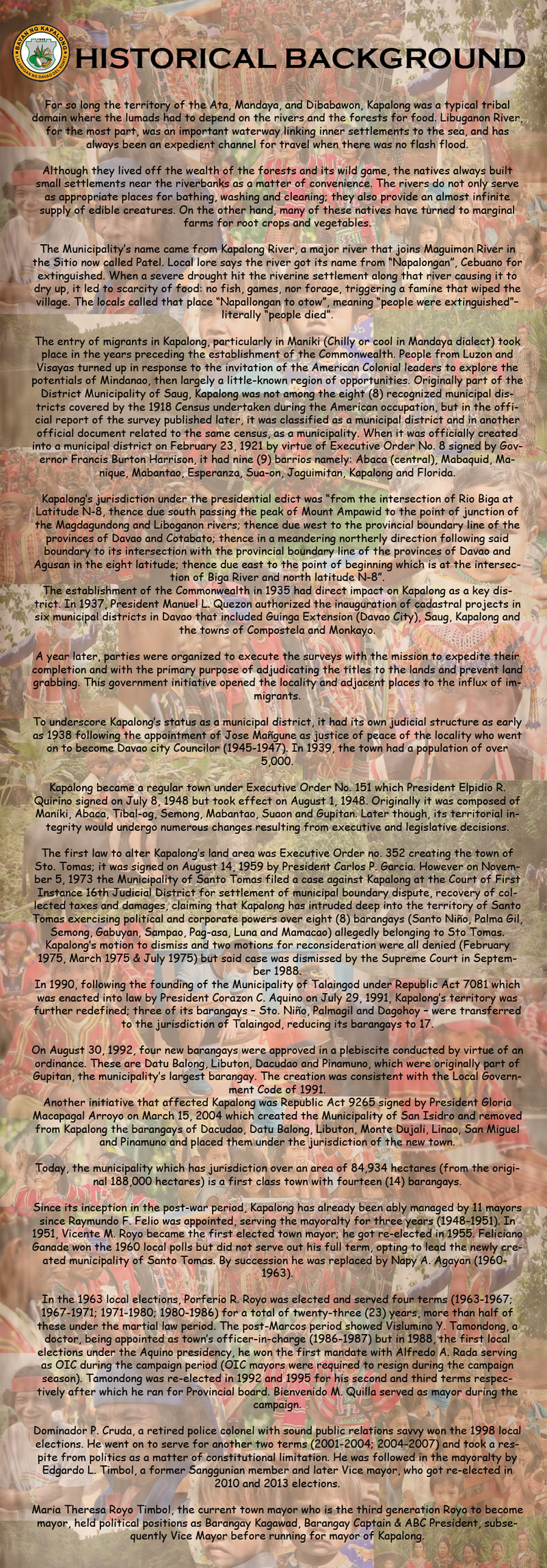
The text on this page is transcribed from this poster produced by the municipality.